
ACATLÁN DE JUÁREZ, JALISCO.
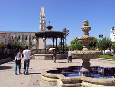
Plaza Principal de Acatlán de Juárez, Jalisco
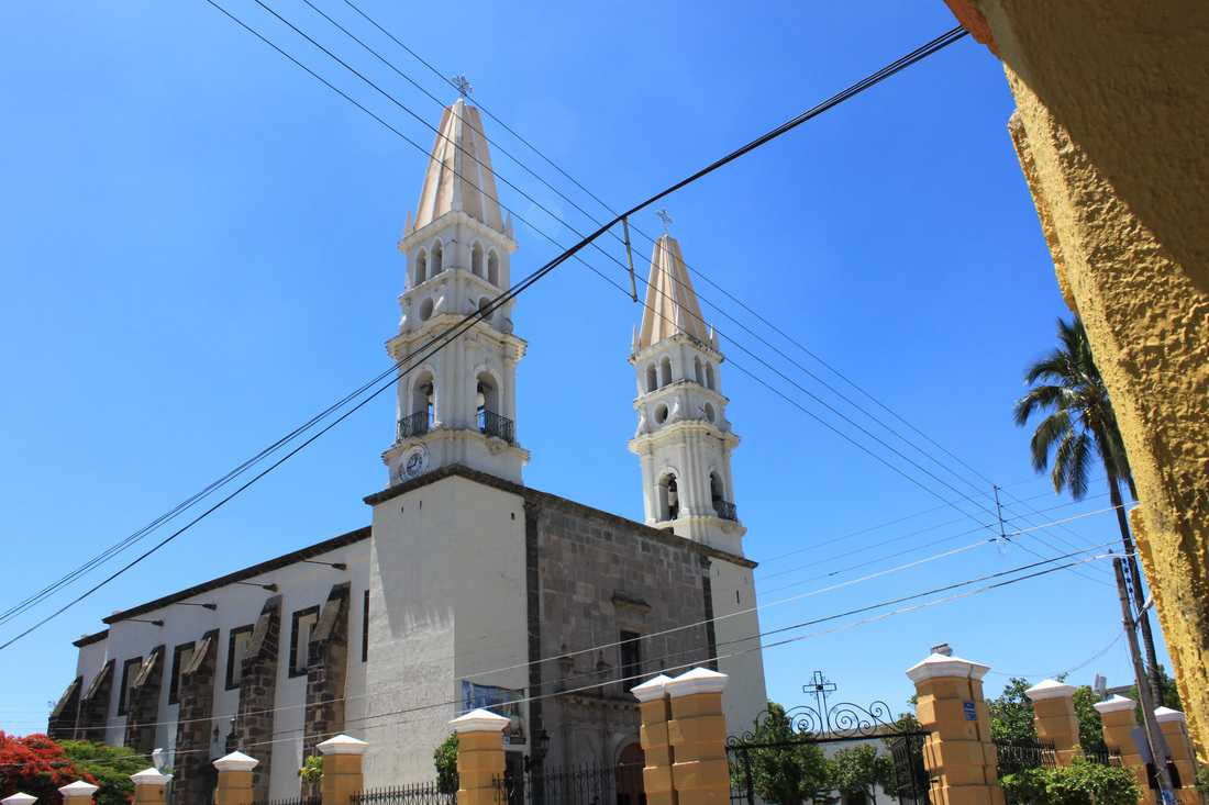
In Acatlán de Juárez you can visit the parish of Santa Ana from 1850, also the "meson of Providence", where was lodged President Benito Juarez, now a "School and Museum of Arts and Crafts".
In addition to other attractions here is the old Santa Ana railway station on the route that goes to the port of Manzanillo, Colima.
In addition to other attractions here is the old Santa Ana railway station on the route that goes to the port of Manzanillo, Colima.
The word Acatlán derives from the Nahuatl words, ácatl (cane) and tlan (between) which is interpreted as: "Together with the Canes." The Town of Acatlán was founded in 1509 by Indians cocas that being defeated by the Purépecha indians settled here, calling it "Captain Coca." Was known since colonial times as Santa Ana de Acatlán and reported directly to the Crown, municipal boundaries established in 1550 by order of Viceroy Antonio de Mendoza to end the difficulties he had with the inhabitants of Zacoalco, Ahualulco and Ameca.
In the seventeenth century the Augustinian friars built the temple of Santa Ana. At the beginning of independent life in Jalisco in 1825, Santa Anna joined the Acatlan Fourth Sayula Canton. In 1858 the Franciscan Meliton Vargas Gutierrez saved the life of BenitoJuarez, who was about to lose into the hands of conservatives.
On March 22, 1906 changed its name to Acatlán de Juárez and was given the title of "Villa" by decree of the State Congress. On September 28, 1972, also by decree of the State Legislature was given the status of city and currently serves as county seat.[2]
|
|


Physical environment
Orographt. It is characterized by a surface with flat areas (57%) andmiddle east, west and south, forming agricultural valleys, there aresemi-flat (39%) north and east, with heights of 1.400 and 1.500 meters above sea level, there are rough areas (4%). South-eastand north-west are located elevations up to 2,200 meters abovesea level.[3]
Soils. In the highlands the municipality consists of hills surrounded by basalt and tuff. The composition of the soil is predominant types as cambisol, loamy, rocky and frank. The municipality has a land area of 17.682 hectares, of which 8.761 are used for agricultural purposes, 6.767 in livestock activities, forest use are 700 and 440 hectares of urban land, the rest 1.017was not specified. As far as property is concerned, an area of 8.745 hectares is private and a 7.923 is ejido; communal property does not exist, and the remaining 1.017 was not specified.[4]
Hydrography. The municipality belongs to the Lerma-Chapala-Santiago hydrologic region. Its water resources are provided by the Acatlán river and El Cajón del Muerto and Charco Verde springs, in addition there are several small streams flow in the rainy season, and Hurtado, Presa Chica dam and Shore of San Gerardo dam.[5]
Climate. The climate is semiarid, with dry autumn and winter, and warm, without heat exchange well-defined winter. The average annual temperature is 20.5 º C, with maximum of 29 ºC and minimum 12.1 ° C.[6] The rainfall is recorded between the months of July and August, withan average rainfall of 714.7 millimeters of sometimes reaching up to 1,100 during the rainy season. The average annual frost days is 7. The prevailing winds are easterly direction.[7]
Flora and Fauna. The vegetation in the mountainous areas of the municipality iscomposed of small oak forest. The species there are: mesquite, acacia, guamúchil, willow, white and red oaks. The coyote, deer,rabbit, opossum and squirrel are mammals that inhabit this region.[8] The natural wealth available to the municipality is represented by700 hectares of thorn forest (acacias, mesquites, guamúchil,pitayos and some other fruit tree). In relation to its mineral resourcesdeposits are marble, limestone, gypsum and banks of yellow sand.in the hydraulic aspect there is suitable prey for fish production and water deposits. [9]
Infrastructure
The municipality offers its residents the services of electricity, water and sewer, parks and gardens, public lighting, sports and recreation, public toilet, market, slaughterhouse, cemetery, roads, public safety and civil registration.
It has sports facilities suitable for practicing various sports, also, culture and recreation facilities are as forums like the House ofCulture, Arts and Crafts Museum "Benito Juarez" There is also theater, cinema, shopping recreation and also have natural attractions such as the spa "Los Chorros".
They provide tourist services, professional, technical, personnel and maintenance, covering the needs of the municipality.[10] The municipality is connected by the highway Guadalajara - Barra de Navidad, Guadalajara - Manzanillo, railways and has four train stations.
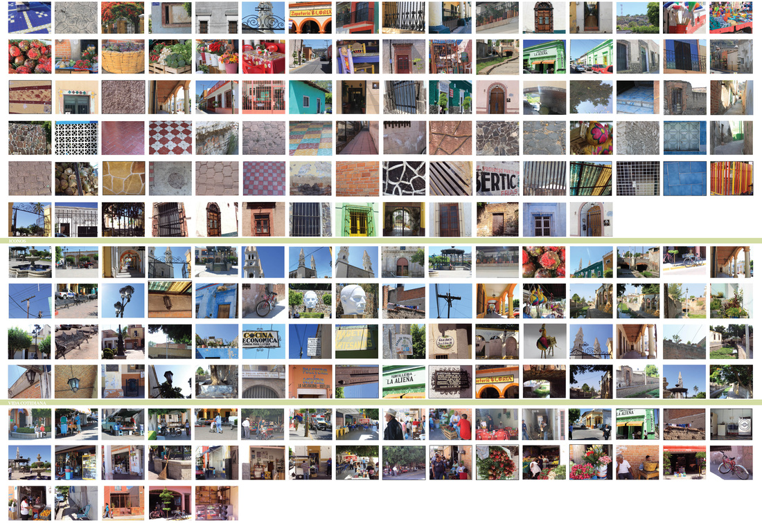
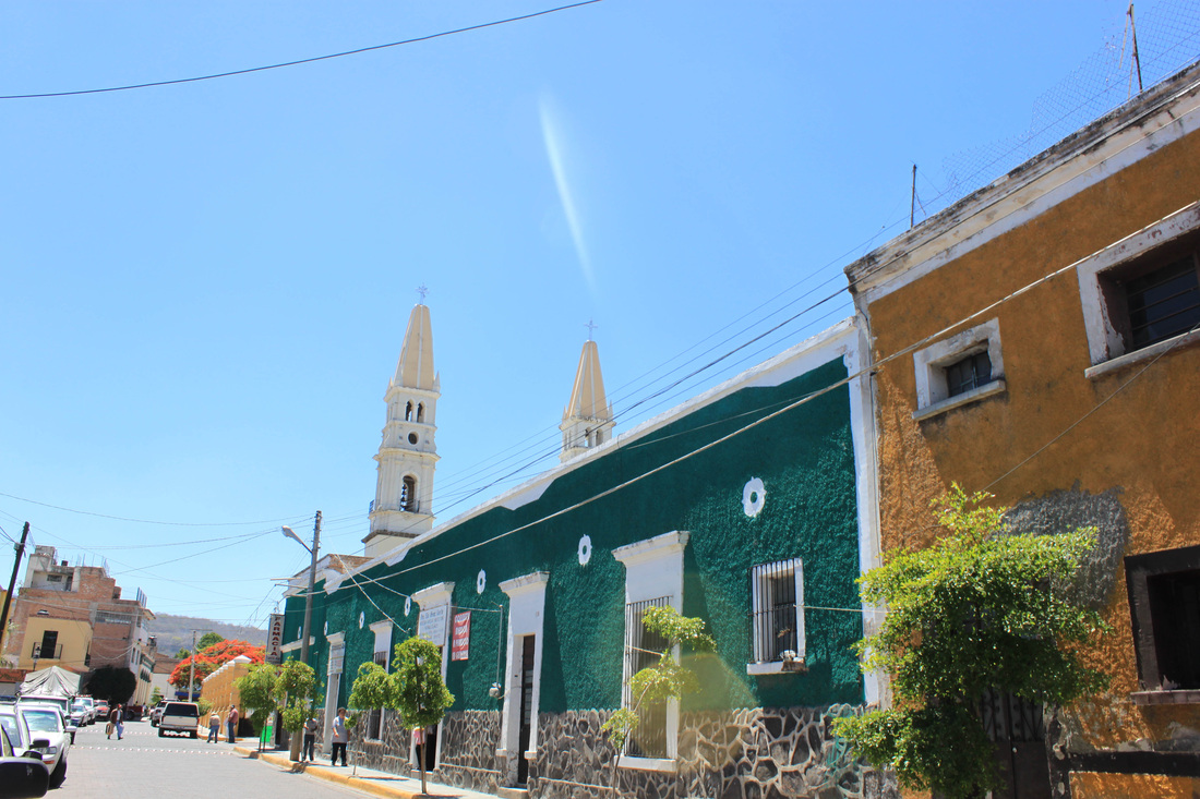
Diversas escenas de Acatlán
[1] Municipio de Acatlán de Juárez, Enciclopedia de los Municipios de Jalisco, Instituto Nacional para el Federalismo y Desarrollo Municipal, Gobierno del Estado de Jalisco, 2005.
[2] Consultado en: http://www.iepcjalisco.org.mx/geografia/munpdf/ACATLAN.pdf
[3] Plan de desarrollo Municipal 2007-2027, Acatlán de Juárez, H. Ayuntamiento de Acatlán de Juárez. Consultado en: http://coplade.jalisco.gob.mx/files/planes/Plan%20Municipal%20de%20Desarrollo%202007-2009%20Acatlan%20de%20Juarez.pdf, fecha de consulta: mayo de 2010
[4] Instituto Nacional de Estadística y Geografía (ed.): «Principales resultados por localidad 2005 (ITER)» 2005. INEGI 2008. «Elevaciones Principales». (Consultado en: Municipios de Jalisco, Acatlán de Juárez, http://www.e-local.gob.mx/work/templates/enciclo/jalisco/mpios/14002a.htm, fecha de consulta, abril de 2010.
[5] INEGI. «Mapa de Regiones Hidrológicas». 2008 (Sitio oficial: Municipios de Jalisco, Acatlan de Juárez, op. Cit.).
[6] INEGI. «Mapa de Temperatura Media Anual». 2008 (Sitio oficial: Municipios de Jalisco, Acatlan de Juárez op. Cit.).
[7] INEGI (2008). «Mapa de Climas». (Consultado en: Municipios de Jalisco, Acatlán de Juárez, http://www.e-local.gob.mx/work/templates/enciclo/jalisco/mpios/14002a.htm, fecha de consulta, abril de 2010.
[8] Instituto Nacional de Estadística y Geografía (ed.): «Principales resultados por localidad 2005 (ITER)» (2005).
Sitio oficial: Municipios de Jalisco, Acatlan de Juárez).
[9] Plan de desarrollo Municipal 2007-2027, Acatlán de Juárez, H. Ayuntamiento de Acatlán de Juárez. Op. Cit.
[10] Municipio de Acatlán de Juárez, Enciclopedia de los Municipios de Jalisco, Instituto Nacional para el Federalismo y Desarrollo Municipal, Gobierno del Estado de Jalisco, 2005.
