
VILLA CORONA, JALISCO.
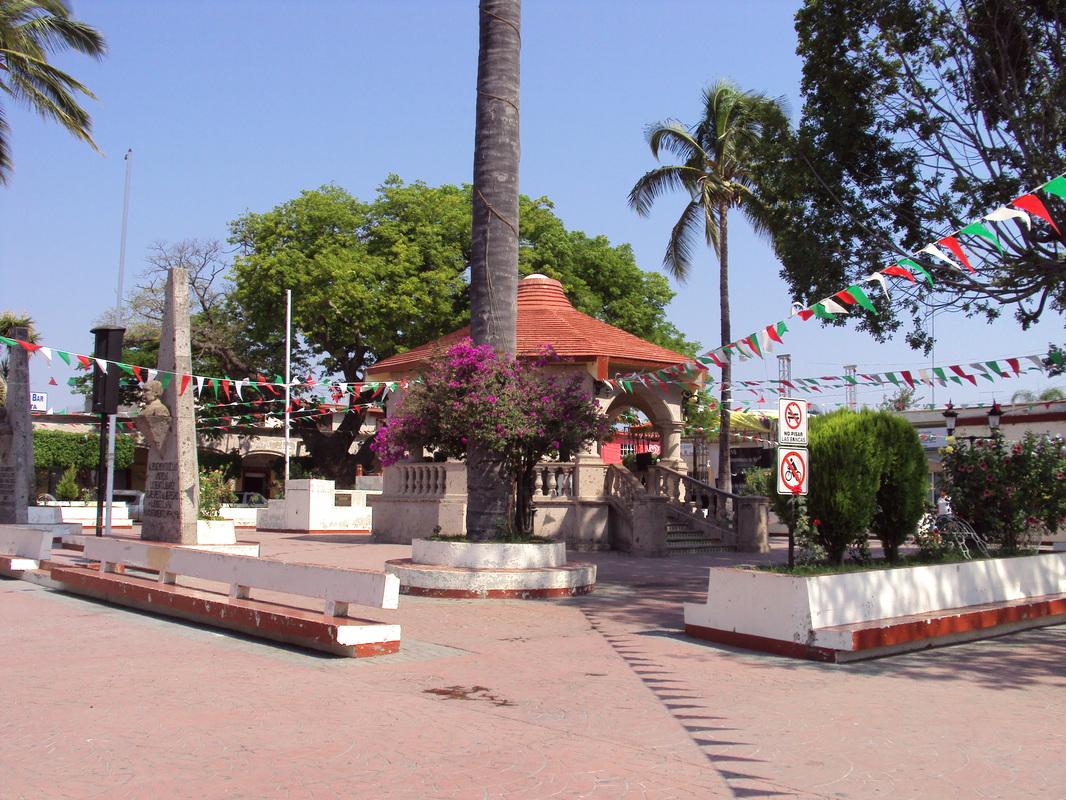
View from the main square of Villa Corona, Jalisco
In Villa Corona is located the temple of the Virgin of the Rosary built by Franciscan friars, whose construction began in 1624, the church of Our Lady of Lourdes, the Temple of the Immaculate, the Franciscan Temple of Atotonilco el Bajo, and Estipac old hacienda, built in 1890, among others.
The privileged location of the place, in the great Valley of Ameca, which has several points of interest such as the haciendas La Sauceda, La Cofradia, Estipac, and San Diego.[2]
The privileged location of the place, in the great Valley of Ameca, which has several points of interest such as the haciendas La Sauceda, La Cofradia, Estipac, and San Diego.[2]
Formerly this place was called "Tizapanito" (diminutive of the word Tizapan), the wordcomes from the union of the Nahuatl words "tízal" (gypsum or chalk) and "pan" (above),which together means "on white ground". Its foundation dates back to the sixteenth century, when its first founders, of Nahuatl origin, settled in a place called La Huerta, 5 km northeast of the present town. During the war of saltpeter took refuge in this place some indigenous groups. In return forthe hospitality extended to them, they bequeathed their progress, of which there are still traces. In 1917 in Villa Corona was Venustiano Carranza, who is said was there to inaugurate a railway track. [3]
By May 31, 1918 was declared by decree Municipality, being its first mayor Agapito Aguayo. The current name of Villa Corona was given by General Manuel M. Dieguez in the year1926, in honor of Ramon Corona.[4]
By May 31, 1918 was declared by decree Municipality, being its first mayor Agapito Aguayo. The current name of Villa Corona was given by General Manuel M. Dieguez in the year1926, in honor of Ramon Corona.[4]
|
|

Physical environment
Orography. Most of its surface consists of flat areas (42%) with altitudes between 900 and 1.500 mfor the end of the saw Tapalpa and semi-flat areas (42%). The hilly constitute 16% of the surface. To the north the hills are El Chino and the Gavilan, with elevations between 1.650and 1.750 meters to the south are the hills Bola, Ojo de Agua and Los Novillos where there are heights of up to 2,000 and 2,400 masl, the others are ridges and hillsides.
Soils. The composition of soils is mainly Haplic feozem, regosol and pelic vertisol . The municipality has a land area of 17.472 hectares and are used for agricultural purposes 7.074 hectares , other 7.472 livestock, and 3.000 hectares of forest use. Another 240 hectares are urban land and 151 hectares have another use. Private property corresponds to 4.010 hectares and 13.927 hectares are Ejidos and there is no communal property.[5]
Hidrography Its water resources are provided by various streams like: Zarco, Colorado, La Compuerta y El Corral Falso; by the Atotonilco lagoon, and the hot springs of Chimulco, Agua Caliente, El Tular, Las Delicias, Las Brisas, Las Termas and Los Veleros; as wel as dams Estipac, La Cañada, La Cienega, Las Tuzas and El Tecuan.
Climate. The climate is semi-dry and warm, winter thermal unchanged defined. The hottest monthsare May and June. The average annual temperature is 20.5 ° C, 29 º C maximum and minimum of 12.1 ° C. The rainfall is recorded between the months of June, July and August, with an average rainfall ranging between 711 and 874 millimeters. The average annual frost days is 4.4. The prevailing winds are south-east direction.
Flora and Fauna. vegetation consists mainly of Fresno guava, pepper tree, willow, guamúchil, mesquiteand oak. The opossum, rabbit, squirrel, coyote, deer and other smaller species inhabit this region.[6]
Infrastructure
The municipality offers its residents the services of electricity, water and sewer, parksand gardens, public lighting, sports and recreation, public toilet, market, slaughterhouse,cemetery, roads, public safety and civil registration. There are sports centers withfacilities for football, volleyball, basketball and playground. For culture and recreation, infrastructure such as civic squares , parks, gardens, cultural center, library, cinema, bullring and recreation centers. It has a network of paved roads, unpaved rural and linking nearby towns. [7]
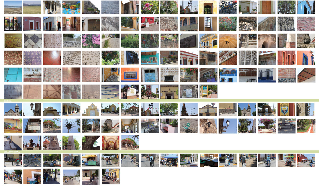
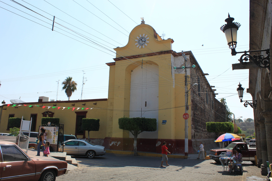
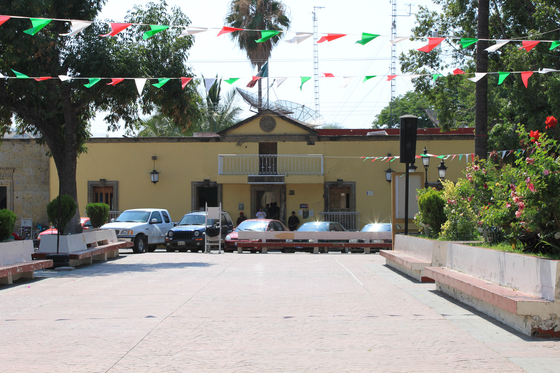
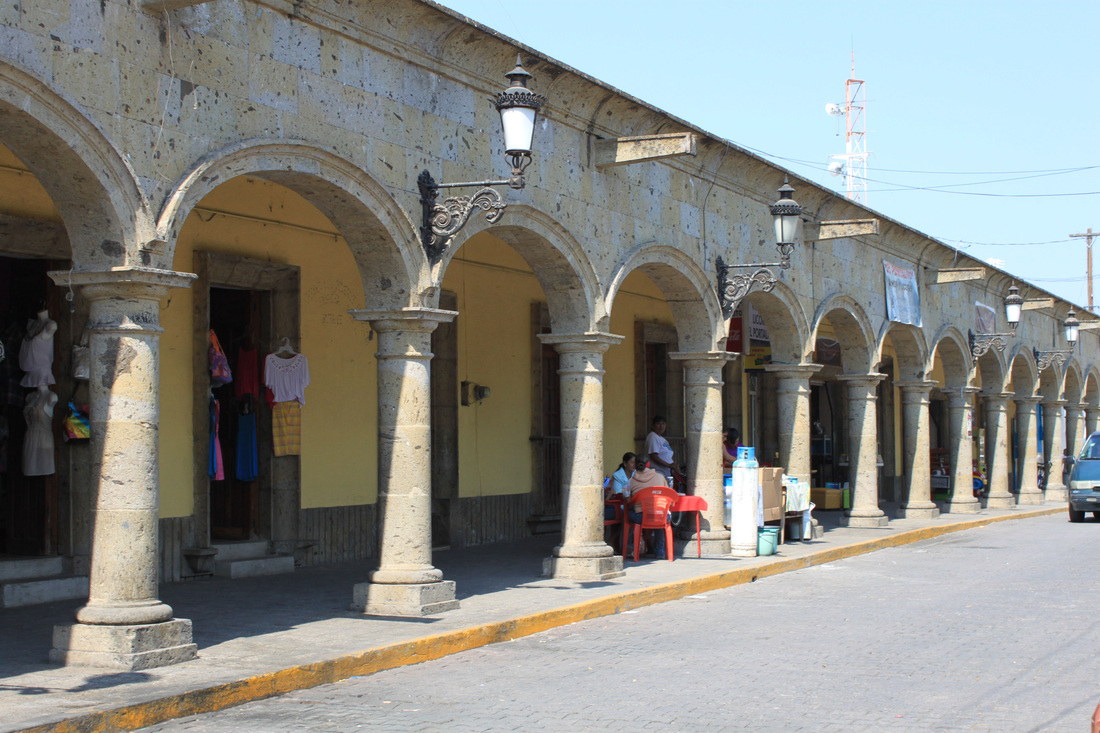
Diversas imágenes de Villa Corona
[1] Municipio de Villa Corona, Enciclopedia de los Municipios de Jalisco, Instituto Nacional para el Federalismo y Desarrollo Municipal, Gobierno del Estado de Jalisco, 2005.
[2] Estrellita García Fernández/Francisco Guerrero Muñoz, “Haciendas del Valle de Ameca”. Universidad de Guadalajara, Jalisco, México, 2007, p.117-127.
[3] Consultado en : http://www.villacorona.gob.mx/, fecha de consulta, abril de 2010
[4] Enciclopedia los Municipios de México. Secretaría de Gobernación y Gobierno del Estado de Jalisco. 1988, Villa Corona, consultado en http://www.e-local.gob.mx/work/templates/enciclo/jalisco/mpios/14114a.htm, fecha de consulta, abril de 2010
[5] Instituto Nacional de Estadística y Geografía (ed.): «Principales resultados por localidad 2005 (ITER)» (2005). INEGI 2008-
[6] Ídem.
[7] Municipio de Villa Corona, Enciclopedia de los Municipios de Jalisco, Instituto Nacional para el Federalismo y Desarrollo Municipal, Gobierno del Estado de Jalisco, 2005.
